 16°
16° The Karkatar Mountains Hiking Route
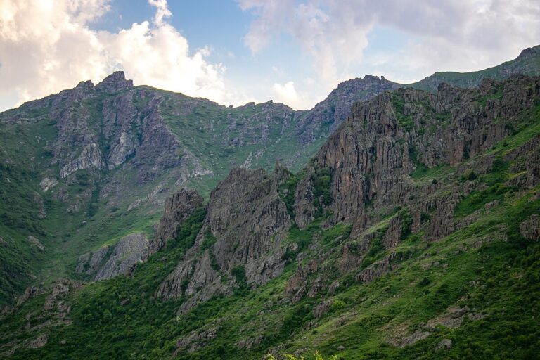
The Karkatar Mountains represent one of the most attractive hiking destinations. This route is relatively challenging and is recommended for experienced hikers with proper physical preparation.
The journey begins from the northern part of Rind village, near the Zorah Winery. Heading toward the summit of Gomadrunk (2,149 m), we ascend the mountain, making a stop at the Rock-cut Church. Due to the significant elevation gain, reaching this summit is the most difficult part of the trek. From Gomadrunk, we cross to Drakhtisar (2,209 m) via the northern slope, as the higher ridges can be difficult to navigate due to dense brushwood.
From Drakhtisar, the trail gradually descends toward the Tsaghkadrunk Pass. During this stop, hikers can replenish their water supplies with fresh water flowing from the Spitak Vank settlement. The third peak on the route is Ulnots (2,521 m), which some hikers choose to bypass, heading directly for the summit of Mount Nare (2,602 m). The ascent to Tsolasar (2,771 m) is also relatively demanding. From there, the descent begins through the Ulguyr settlement toward the village of Aghavnadzor. During the descent, we stop at Sevak’s Spring, St. Stephen’s Church, and finally, St. Mary’s Church.