 13°
13° Aghjkanvag
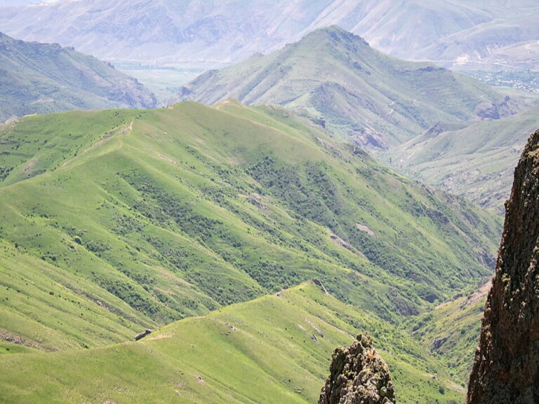
The Aghjkanvag mountain peak is located in the northern part of Rind village, on the western branches of the Qarkatar Mountains. It is a height with relatively flat terrain that lacks sharply defined slopes or a pointed peak in the classical sense. For this reason, during hikes, it can sometimes be difficult to notice its separation from the surrounding hills.
The elevation of Aghjkanvag is 2,339 meters above sea level. It is situated in the vicinity of higher mountain massifs; to the northeast rises the highest point of the region, Qarkatar (2,961 m). Due to the geographical position of the terrain, the fields and vineyards of Rind are not visible from the summit of Aghjkanvag, as the view is obstructed by the adjacent peaks of Gomadrunk and Drakhtisar.
Despite its modest appearance, Aghjkanvag is an important junction point for hikers and mountaineers. It is frequently included as a transitional height in the following routes:
- On long treks from Shreshtasar to Qarkatar.
- On hiking routes from Shreshtasar through the Tsaghkadrunk Pass toward Nare and Tsolasar.